National
Bank approval timelines for your division
Regulator clock · days
Approval timelines, new permit requirements and pending bank applications — for each of the eight USACE divisions.
Approval timelines, new permit requirements and pending bank applications — for each of the eight USACE divisions.
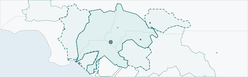
Lower Catawba Watershed: the fastest wetland sales pace on record against flat released supply. Stream credits in the same watershed sit at 6.4 yrs.
Status, sales pace, availability, service area and who operates it — for 5,000+ banks and ILF programs.
RIBITS wants coordinates or a map click. One box takes any of these — an address, a town, a county, a ZIP, a coordinate pair or a click. Whichever you already have.
| What you give us | MitiVision | RIBITS |
|---|---|---|
| 4801 Westheimer Rd, Houston TX | ||
| Kelseyville, CA | ||
| Lake County, CA | ||
| 77056 | ||
| 29.7425594, −95.4120986 | ||
| A click on the map |
One sortable table, every eligible bank on one map — not a stacked per-bank report.
| Bank | Service area | Avail. |
|---|---|---|
| Cedar Bayou | Primary | 13,994.46stream |
| Luce Bayou MB | Primary | 176.768wetland |
| Tomball Conservation Bank | Primary | 215.00species |
| Tarkington Prairie | Secondary | 115.60wetland |
| Waller Creek MB | Secondary | 83.10wetland |
| Dayton Bottoms | Secondary | 70.46wetland |
Wetland, stream or species — pick the plain term; we know every raw classification it hides behind.
Direct from federal systems — Bank records and credit ledgers come from USACE RIBITS, approval milestones from ORM and public notices from RRS; geography is queried live from EPA and USGS on each search.
Rebuilt every weekday — The mirrored sources are reread and every derived figure is rebuilt from scratch. No value survives the previous run, and each page is dated to its oldest contributing source rather than its freshest.
Figures mirrored from USACE RIBITS · ORM · RRS · synced
Balances checked twice — Every credit balance is reconstructed from the federal ledger, then computed again by a second, independently written program. The two must agree to the decimal; one disagreement holds the publication.
Judgment clearly labeled — Federal fields remain visible as recorded. MitiVision’s topic, species, and operator groupings are identified as editorial work and reviewed by hand.
Gaps left visible — Unmapped banks are listed instead of silently dropped. Small samples are withheld, unusual balances are left in view, and an incomplete registry read stops publication.
Supply and runway, sales pace, the pending pipeline, and every price signal the public record supports — compiled for the one watershed you’re deciding in. Any watershed in the country.